PROMPT RECORD · 公开作品详情
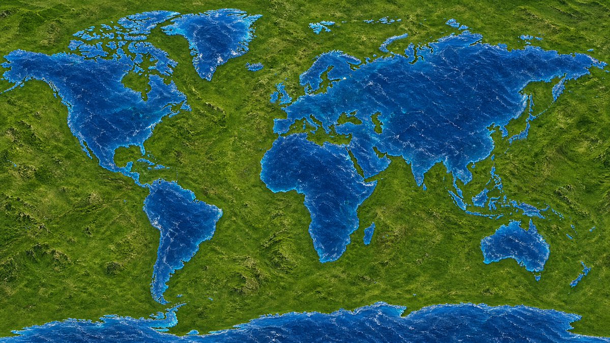
- 一张高分辨率地球地图,但陆地和水反转。所有大陆(北美洲、非洲等)都由蓝色水构成,所有大洋(大西洋、太平洋)都是纯绿色陆地。形状必须与真实地…
公开 AI 图像创作记录,包含原图、提示词、使用模型、作者、标签与来源。
- 使用模型
- None
- 创作者
- @chetaslua
- 发布时间
- Mon Apr 20 15:20:07 +0000 2026
- 图片数量
- 1 张
完整提示词
源提示词按原始换行与标点完整保留- A high-resolution map of the Earth, but with the land and water inverted. All continents (North America, Africa, etc.) are made of blue water, and all oceans (Atlantic, Pacific) are solid green land masses. The shapes must be geographically accurate to the real Earth, just with the textures swapped > QT @chetaslua: > 🚨 GPT-IMAGE V2 on keyboard test > > All alphabet is represented by animal https://t.co/6G2LO778Nr > PHOTO: https://pbs.twimg.com/media/HGW2uJJbQAEPBcn.jpg > https://x.com/chetaslua/status/2046242512722153614
提示词译文
译文与源提示词分开显示,不替代原文- 一张高分辨率地球地图,但陆地和水反转。所有大陆(北美洲、非洲等)都由蓝色水构成,所有大洋(大西洋、太平洋)都是纯绿色陆地。形状必须与真实地球保持地理准确性,只是纹理互换 > 转推 @chetaslua: > 🚨 键盘测试中的 GPT-IMAGE V2 > > 所有字母都由动物代表 https://t.co/6G2LO778Nr > 图片:https://pbs.twimg.com/media/HGW2uJJbQAEPBcn.jpg > https://x.com/chetaslua/status/2046242512722153614